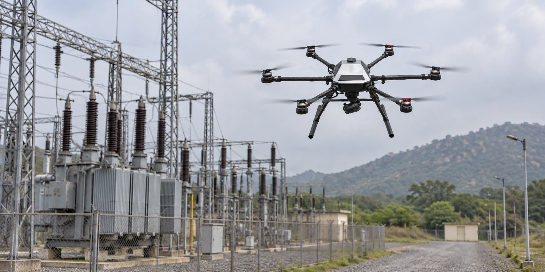
Define the inspection question
A bridge, utility corridor, industrial site and roof each call for a different flight path, standoff distance and sensor view.

Mission-configured imaging and aerial presence for sites, facilities, utilities and industrial inspection workflows.
Discuss the operating environment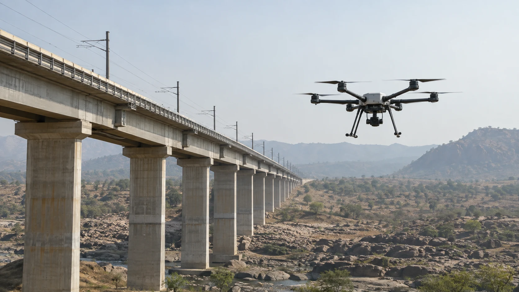
OPERATING FOCUS
HOW THE SYSTEM HELPS
A bridge, utility corridor, industrial site and roof each call for a different flight path, standoff distance and sensor view.
Plan for repeatable viewpoints, suitable lighting and image detail so the resulting material supports a maintenance or survey decision.
Access, launch space, nearby structures, electromagnetic conditions and the method of transferring data all belong in the mission brief.
Describe the asset, area to cover, required output and site restrictions. KapYah can discuss the aircraft and imaging setup in the context of the team’s existing inspection or survey process.
Operating height, payload, weather, transport and ground-power access help shape the right aircraft, tether and payload configuration.