Explore the operation, learning goal or engineering challenge you want to address. Each solution brings the aircraft, people and workflow into the same conversation.
Security & Surveillance
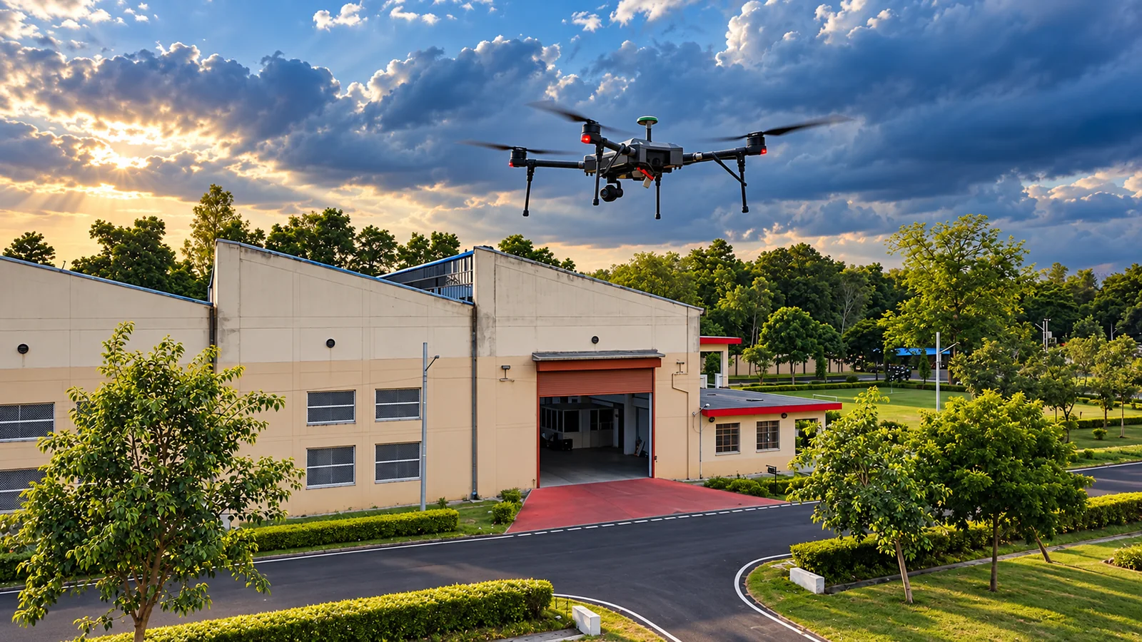
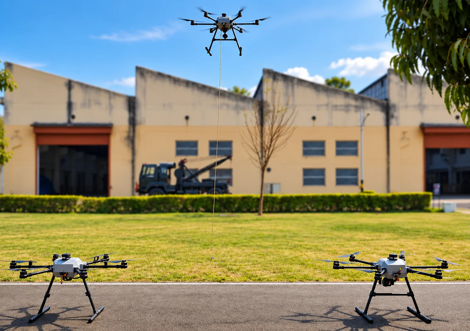
Connected aerial observation for site security, perimeter awareness and public safety. Match mobile or tethered aircraft with visible-light or thermal imaging to monitor critical sites, support teams on the ground and maintain a clearer view of the operating environment.
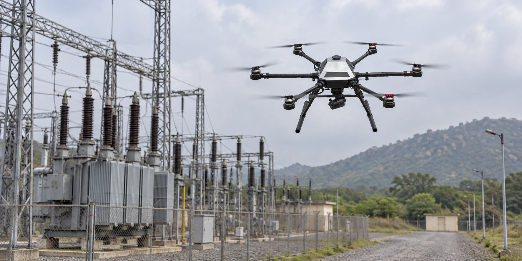
Bring a clear aerial view to structures, utilities and active worksites. Plan image capture around the asset, access conditions and areas that need closer review. Select suitable visible-light or thermal imaging to support maintenance, safety and operational decisions.
Capture the terrain, detail and spatial context needed for confident planning. Define the survey area, required detail and intended maps or models before selecting the aircraft, payload and capture plan. Agree coverage, accuracy and processing needs around the project brief.
Support search teams and incident coordination with an aerial view and mission-specific imaging. Assess terrain, access routes and changing conditions to help teams understand the scene. Match mobile or tethered observation, and suitable thermal imaging, to the response plan and available ground support.
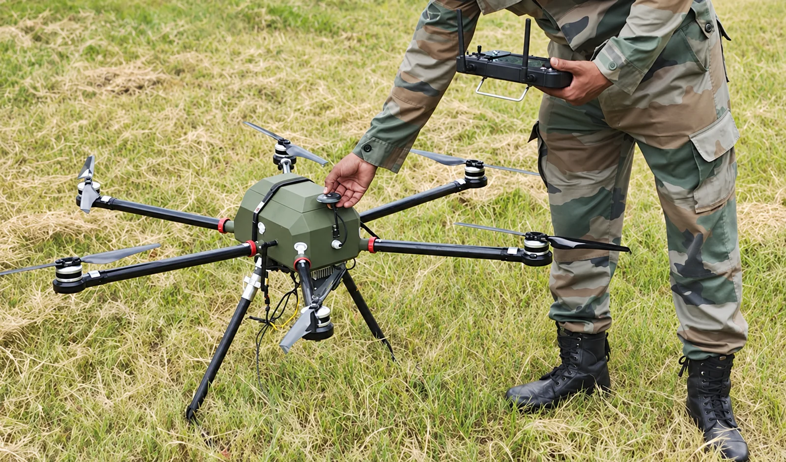
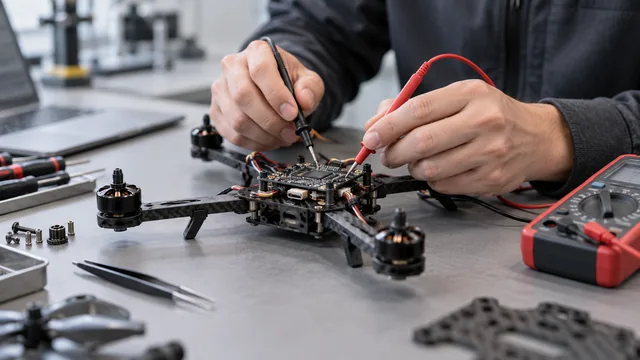
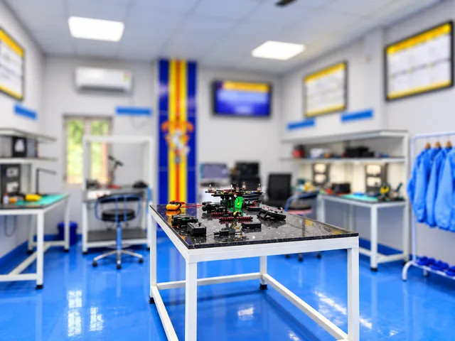
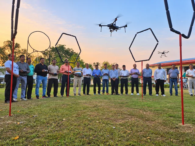
Share your operating environment, learning goals or engineering brief. We can then discuss the appropriate platform, configuration or development path.